- About
- Programs
- Student Opportunities
- For Faculty
- News & Events
Back to Top Nav
Back to Top Nav
Back to Top Nav
Back to Top Nav
Back to Top Nav
Earth Sciences
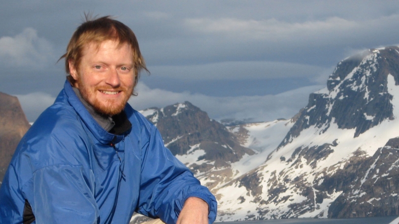
Combining a background in remote-sensing, glaciology, and cultural geography, Thomas examines how people can integrate knowledge to best understand and prepare for polar environmental change.
Thomas is interested in the future of the Greenland Ice Sheet by understanding rates of snow accumulation and loss to determine rates of mass balance change through time. He uses methods from satellite remote sensing and the direct measurement of snow accumulation on the ice sheet made during ground traverse expeditions from the northwest coast of Greenland to Summit Station in the deep interior.
Prior to IGERT Thomas was a Fulbright Grantee traveling throughout coastal Greenland with hunters and fishers examining the potential for interweaving local Greenlandic environmental knowledge and the current scientific understanding of climate change. Environmental knowledge generated by living in Greenland and relying upon its resources for survival interwoven with environmental knowledge formed from remote sensors provides a richer understanding of the reality of global climate change. Measurements of the mass balance of the GIS are central to predicting future sea level rise and in providing policy makers with critical information on the size and rate of sea level rise. Coastal communities in Greenland and throughout the Arctic need this information to anticipate and adapt to environmental change.
In 2011 Thomas and fellow PhD student Gifford Wong completed a 40-day traverse of the Greenland Ice Sheet, an overland supply run for Summit Camp on the Greenland Ice Sheet